Assessed value
$363,900
$304,700 bldg · $59,200 land
Est. annual tax
$8,217
22.58 mills · FY2026
Acreage
3.5 ac
$103,971 / ac
Land use
101
Year built
1951
2,414 sqft
Owner mailing
Bethlehem, CT
Building
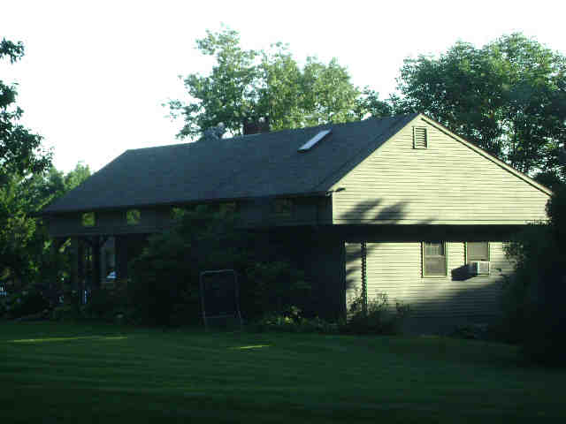
- Style
- Cape Cod
- Year built
- 1951
- Living area
- 2,414 sqft · 1.4 stories
- Exterior
- Clapboard
Recorded sales
No recorded sales on file.