Assessed value
$449,000
$352,400 bldg · $96,600 land
Est. annual tax
$10,138
22.58 mills · FY2026
Acreage
10.64 ac
$42,199 / ac
Land use
101
Year built
2002
2,701 sqft
Owner mailing
Bethlehem, CT
Building
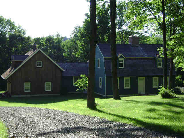
- Style
- Colonial
- Year built
- 2002
- Living area
- 2,701 sqft · 1.9 stories
- Exterior
- Clapboard
Recorded sales
No recorded sales on file.