Assessed value
$407,400
$308,900 bldg · $98,500 land
Est. annual tax
$9,199
22.58 mills · FY2026
Acreage
9 ac
$45,267 / ac
Land use
101
Year built
1956
1,724 sqft
Owner mailing
Bethlehem, CT
Building
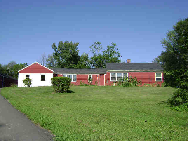
- Style
- Ranch
- Year built
- 1956
- Living area
- 1,724 sqft · 1.0 story
- Exterior
- Clapboard
Recorded sales
No recorded sales on file.